Outdoors
Hiking Near Southborough, MA: The Reservoir Trail and More
Updated
Hiking near Southborough, MA is mostly flat, mostly wooded and almost always beside water. Nobody comes here for summits. They come for long, quiet shoreline walks on protected watershed land, 30 minutes from Boston, where a weekday morning is properly quiet. This guide starts with the Sudbury Reservoir Trail, because it is the best walk in town, and then works outward.
The Sudbury Reservoir Trail
What it is
The Sudbury Reservoir Trail runs for approximately five miles across Southborough, from the Framingham side of town west to the Westborough line. It follows the water's edge for much of the way and crosses Route 30, Route 85 and I-495 as it goes. The town's Trails Committee maintains it.
The land belongs to the state. According to the town, the Department of Conservation and Recreation owns and manages 4,943 acres in the Sudbury Reservoir watershed system, and the reservoir is kept as a backup drinking water supply. That is why the shore has no houses, docks or boats on it. The town's description picks out fishing spots, a rock island with boulders, and the Burnett House with its historical markers about early settlers.
Three trails in one
The same path carries three names. The town calls it a "3-in-1" trail:
- The Sudbury Reservoir Trail is the local name for the shoreline route.
- The Boroughs Loop Trail is a 33-mile regional loop linking Marlborough, Northborough, Southborough and Westborough. Sudbury Valley Trustees publishes section maps, and the town's page says roughly 24 miles are open so far.
- The Aqueduct Trail is part of about 27 miles of paths that the MWRA has opened along its inactive aqueducts between Clinton and Newton.
In Southborough the three overlap until the Route 30 causeway, where the Boroughs Loop heads east. The Bay Circuit Trail, the long-distance greenway around greater Boston run as a project of the Appalachian Mountain Club, also joins the reservoir shore for a couple of miles on its way to Marlborough. You can walk ten minutes or all day from the same path.
Rules on watershed land
This is drinking water land, with stricter rules than an ordinary park. The town's trail pages state that no dogs are allowed on DCR property within the Sudbury Reservoir watershed. DCR's watershed public access page has the full rules and maps, including where shoreline fishing is allowed. Read it before you bring a rod.
Parking is limited. The town lists access points where one or two cars fit on the road shoulder, so go early on fine weekends.
The walking, season by season
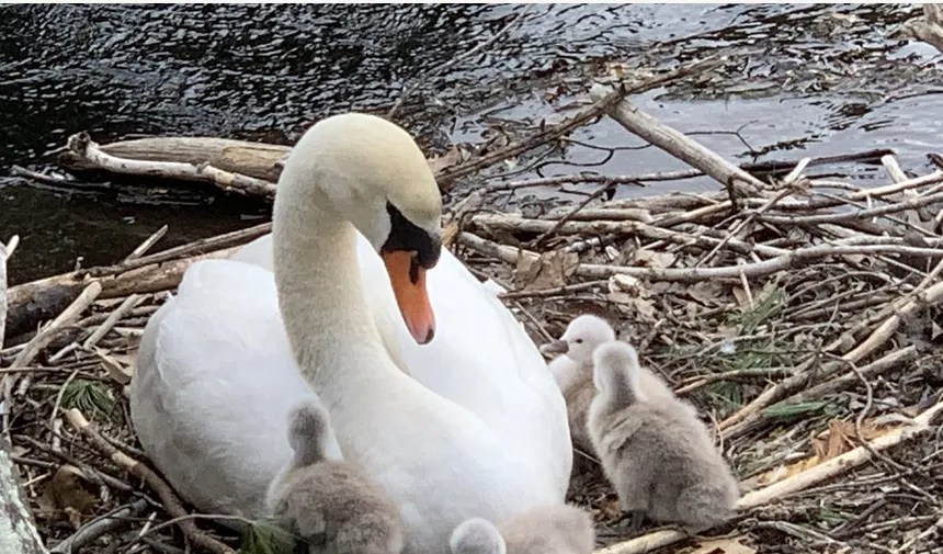
- Spring: the path can be soft and muddy after snowmelt. Waterbirds are nesting along the shore, swans among them, so give them room.
- Summer: shaded and cooler than you would expect. Check for ticks afterwards, as anywhere in the Massachusetts woods.
- Autumn: the best season. Maples and oaks colour up against the pines. See our fall foliage guide.
- Winter: nothing is plowed or gritted. The town lists the adjoining Bay Circuit section as suitable for snowshoeing and cross-country skiing, and after a good snowfall the whole shoreline is.
Guests at Southborough Garden Retreat have it easy: the trail is a short walk from the house, so nobody has to fight for one of those shoulder spots.
Chestnut Hill Farm
Chestnut Hill Farm is a 170-acre working farm in Southborough owned by The Trustees of Reservations. It is free to all and open year-round, daily, from sunrise to sunset.
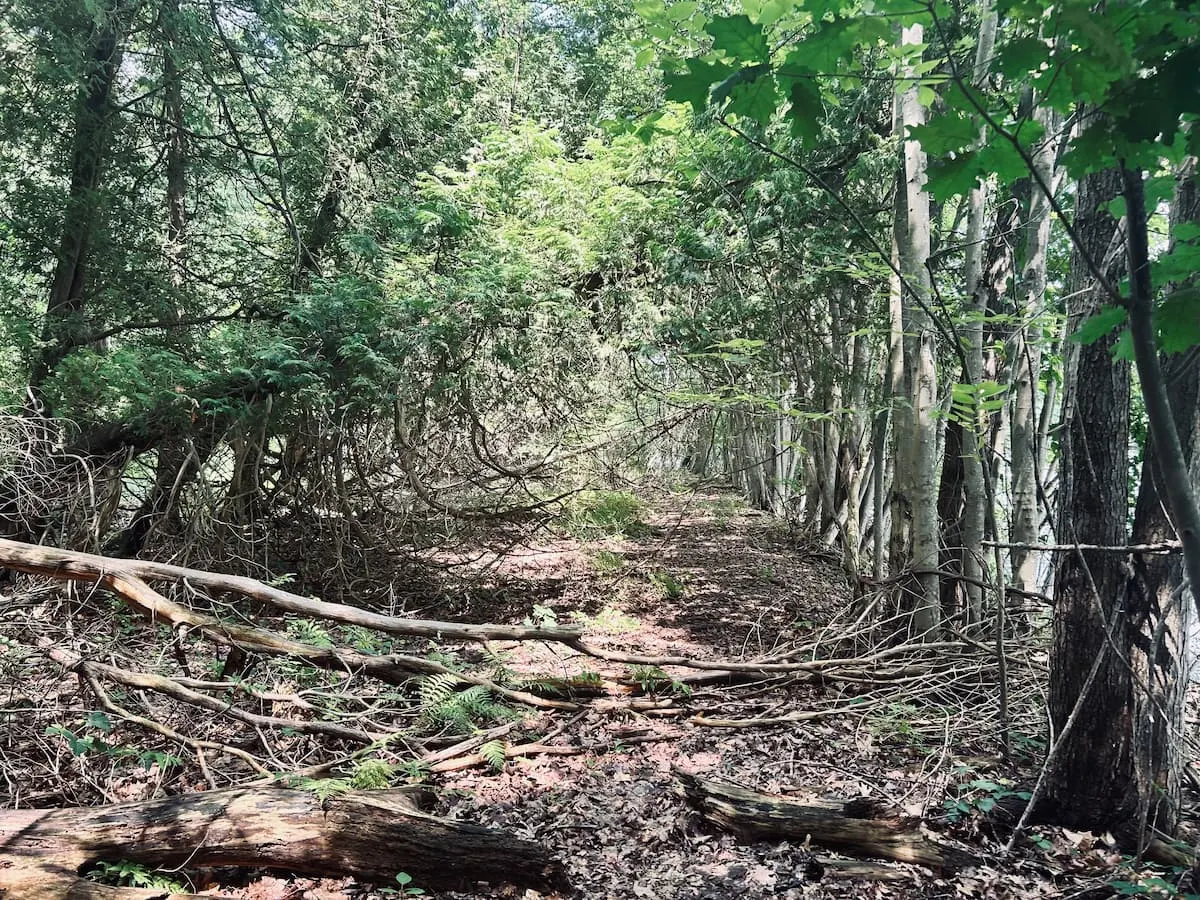
The Trustees describe two miles of easy walking. A cart path leads from the parking area through hay and vegetable fields into oak, red maple and white pine woods, and out to the grassed-over embankment of the Hultman Aqueduct. Parts of the fields are set aside for nesting bobolinks and eastern meadowlarks. The trails link to the reservoir trails, the Boroughs Loop and the Bay Circuit.
Rules from the Trustees' page: dogs are not permitted, nor are horses. Stay on marked trails, and assume every electric fence is on. There is a farm store at the first parking area.
Beals Preserve and Breakneck Hill
These two allow dogs.
Beals Preserve is 58.5 acres of meadow, pond and woodland owned by the Southborough Open Land Foundation. Dogs are allowed on a leash. Trails are for walking, jogging, skiing and snowshoeing, with no bikes, and the preserve connects to the reservoir trail. Check SOLF's page for current parking arrangements.
Breakneck Hill Conservation Land is about 88 acres of former farmland owned by the town. It is open hilltop walking, a change from the woods. The town's trail list says dogs are permitted here provided you carry out the waste.
More hiking near Southborough, MA: two state parks
Hopkinton State Park, about 10 minutes south by car, has wooded trails around a reservoir plus swimming beaches in summer. DCR charges for parking in season.
Callahan State Park, 15 to 20 minutes away on the Framingham and Marlborough line, has miles of wide trails through fields and woods, shared with mountain bikers, riders and a great many dogs.
Drive times are approximate, from Southborough town center, and vary with traffic, especially near Route 9 and the Mass Pike.
After the walk
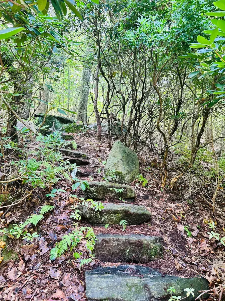
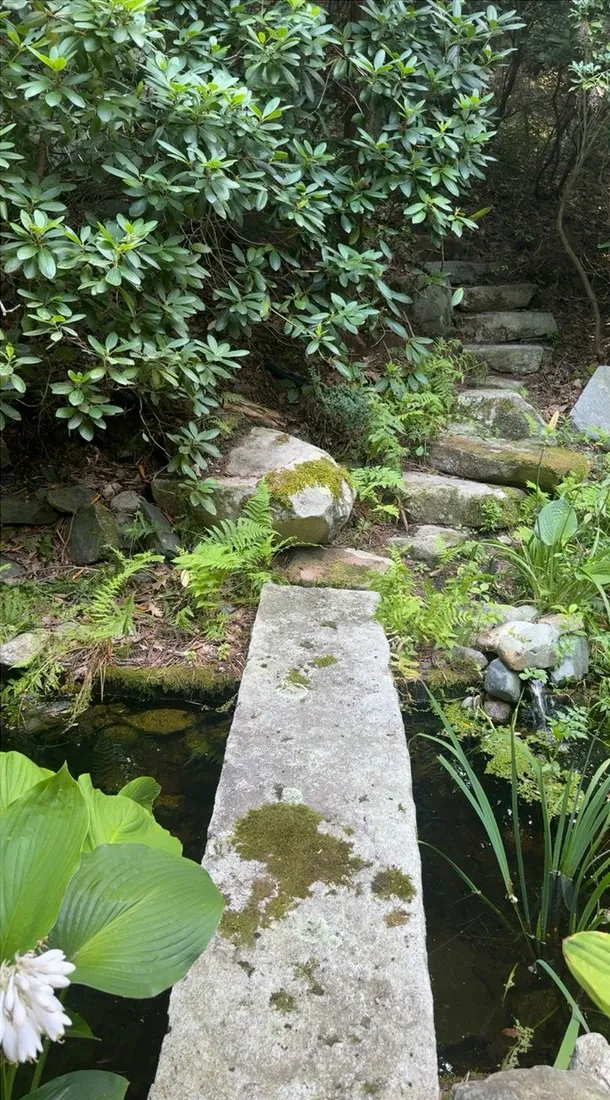
Boots off. The house has a jetted tub in the first-floor primary suite, a fireplace in each living area, and a garden with a stone stair up to a rock seat in the woods for anyone who has not had enough. Jillian, the host, can recommend other local hikes.
Useful links
- Town of Southborough: Sudbury Reservoir Trail
- Town of Southborough: Boroughs Loop Trail
- Town of Southborough: Aqueduct Trail
- Sudbury Valley Trustees: Boroughs Loop Trail
- Bay Circuit Trail and Greenway
- DCR watershed public access rules and maps
- The Trustees: Chestnut Hill Farm
- Southborough Open Land Foundation: Beals Preserve
- Town of Southborough: Breakneck Hill Conservation Land
- DCR: Hopkinton State Park
- DCR: Callahan State Park
Bringing a group?
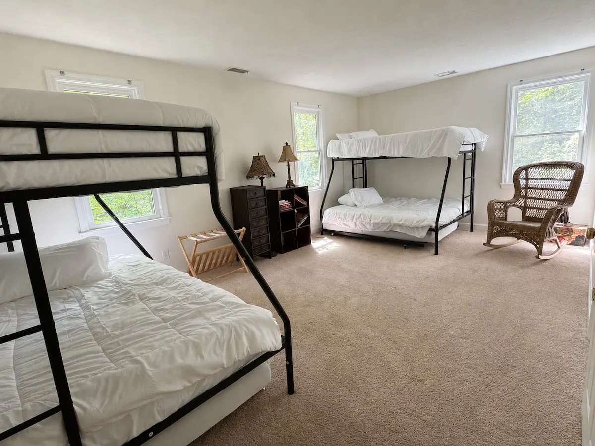
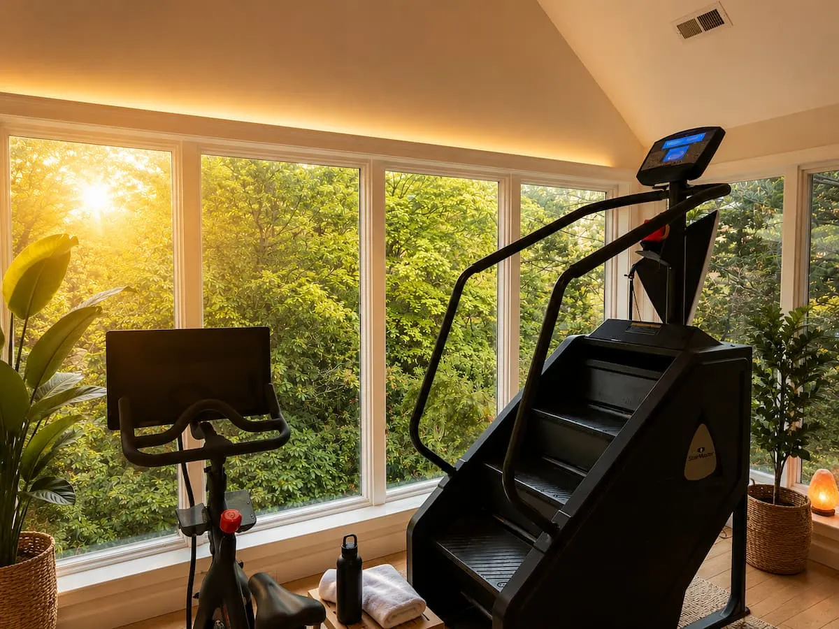
Southborough Garden Retreat sleeps fourteen, with a library, a glass plant room, a projector room, a gym and an acre of garden. It is a Guest Favorite on Airbnb, rated 4.95.
See the houseMore guides
Outdoors
Things to Do With Kids Near Boston: MetroWest Day Trips
Things to do with kids near Boston and MetroWest: zoo, farm, living history, science museums. Drive times from Southborough and what to check first.
Outdoors
Gardens to Visit Near Boston: A Garden Lover's Weekend
Gardens to visit near Boston in one weekend: Garden in the Woods, Tower Hill, Elm Bank, the Arnold Arboretum and Mount Auburn, with drive times.
Events
Where to Stay for the Boston Marathon Start in Hopkinton
Boston Marathon lodging near Hopkinton: how race morning works, who should stay by the start, and who is better off in a Back Bay hotel.